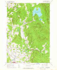
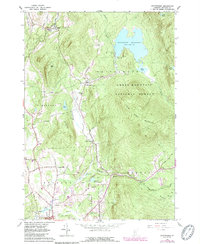
1961 Map of Chittenden
USGS Topo · Published 1966About this map
Chittenden Reservoir dominates the landscape of the Green Mountain National Forest in this early 1960s survey. The map details the transition from the high-elevation wilderness of Blue Ridge Mountain down to the settled valleys where North Chittenden and Chittenden are established along the watercourses. The local economy and infrastructure of the era are visible through features like the US Fish Hatchery on Furnace Brook and the Mountain Top Club overlooking the reservoir.
Find a feature on this map
58 named features on this map. Tap any name to fly to it.
Don’t see what you’re looking for? This feature index may not catch every label — zoom into the map to look around manually.
Map Details
Editions of this 1961 Chittenden Map
5 editions found
Other maps of this area

1891 · Rutland
USGS Topo · 1:62,500

1893 · Rutland
USGS Topo · 1:62,500

1895 · Castleton
USGS Topo · 1:62,500

1897 · Castleton
USGS Topo · 1:62,500

1902 · Brandon
USGS Topo · 1:62,500

1904 · Brandon
USGS Topo · 1:62,500

1915 · Rochester
USGS Topo · 1:62,500

1917 · Rochester
USGS Topo · 1:62,500

1920 · Brandon
USGS Topo · 1:62,500

1944 · Proctor
USGS Topo · 1:31,680