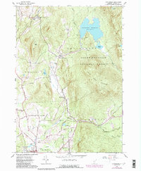
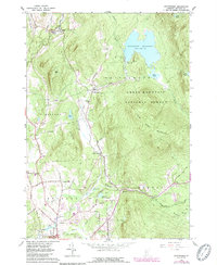
1961 Map of Chittenden
USGS Topo · Published 1989About this map
The Chittenden Reservoir and its surrounding mountain terrain define this Rutland County landscape during the mid-20th century. High elevations like Bald Peak and the Blue Ridge Mountain dominate the eastern topography within the Green Mountain National Forest, while the valley floors contain the primary settlements of Chittenden and North Chittenden. The map documents a blend of recreation and utility, with the Mountain Top Club situated near the reservoir's western shore and a U S Fish Hatchery located near the northern border along Furnace Brook.
Find a feature on this map
56 named features on this map. Tap any name to fly to it.
Don’t see what you’re looking for? This feature index may not catch every label — zoom into the map to look around manually.
Map Details
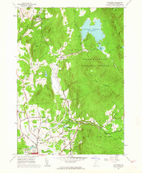
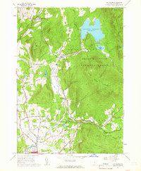
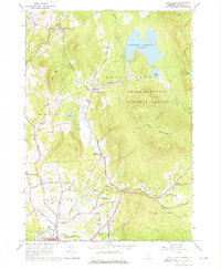
Editions of this 1961 Chittenden Map
5 editions found
Other maps of this area

1891 · Rutland
USGS Topo · 1:62,500

1893 · Rutland
USGS Topo · 1:62,500

1895 · Castleton
USGS Topo · 1:62,500

1897 · Castleton
USGS Topo · 1:62,500

1902 · Brandon
USGS Topo · 1:62,500

1904 · Brandon
USGS Topo · 1:62,500

1915 · Rochester
USGS Topo · 1:62,500

1917 · Rochester
USGS Topo · 1:62,500

1920 · Brandon
USGS Topo · 1:62,500

1944 · Proctor
USGS Topo · 1:31,680