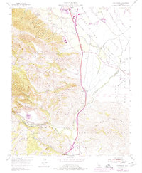
1955 Map of Chittenden
USGS Topo · Published 1975About this map
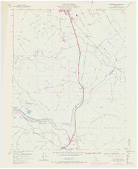
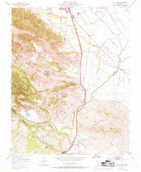
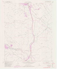
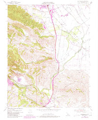
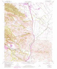
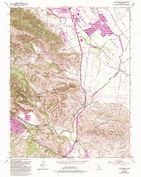
The San Andreas Rift Zone carves a distinct geological signature through this terrain, where the Santa Clara, Santa Cruz, and San Benito county lines converge. The landscape is defined by the transition from the southern Santa Clara Valley floor into the Santa Cruz Mountains and the Sargent Hills. Natural hydrology is a prominent feature, with the Pajaro River flowing through the critical Pajaro Gap at Chittenden Pass. Settlement patterns here follow the infrastructure of the Southern Pacific railroad and major roadways like U.S. 101, supporting small communities such as Sargent, Chittenden, and River Oaks. Notable institutional and industrial features include Gavilan Junior College near Gilroy and the extractive operations at the Quarry near Quarry Lake, illustrating the mid-century intersection of education, transportation, and industry in this geologically active corridor.
Find a feature on this map
44 named features on this map. Tap any name to fly to it.
Don’t see what you’re looking for? This feature index may not catch every label — zoom into the map to look around manually.
Map Details
Editions of this 1955 Chittenden Map
10 editions found
Other maps of this area

1915 · San Juan Bautista
USGS Topo · 1:48,000

1917 · Morgan Hill
USGS Topo · 1:62,500

1917 · San Juan Bautista
USGS Topo · 1:62,500

1919 · Hollister
USGS Topo · 1:48,000

1921 · Gilroy Hot Springs
USGS Topo · 1:62,500

1921 · Hollister
USGS Topo · 1:62,500

1923 · Hollister
USGS Topo · 1:62,500

1939 · Morgan Hill
USGS Topo · 1:62,500

1939 · Gilroy Hot Springs
USGS Topo · 1:62,500

1939 · San Juan Bautista
USGS Topo · 1:62,500