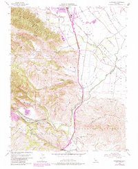
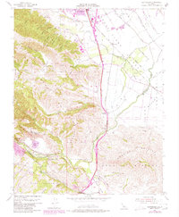
1955 Map of Chittenden
USGS Topo · Published 1984About this map
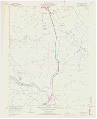
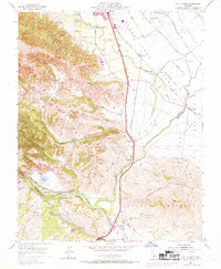
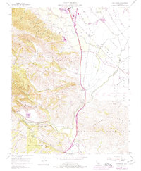
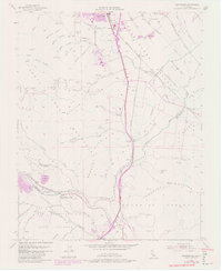
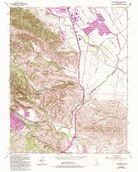
Santa Clara Valley and the Santa Cruz Mountains meet at this mid-century geographical juncture, where the Southern Pacific railroad follows the winding course of the Pajaro River. This area serves as a critical corridor between coastal regions and the interior valley, marked by the narrow Chittenden Pass and the geologically significant Pajaro Gap. The landscape transitions from the agricultural flats of Llano Del Bolsa and San Juan Valley to the uplifted terrain of the Sargent Hills and Lomerias Muertas.
Find a feature on this map
48 named features on this map. Tap any name to fly to it.
Don’t see what you’re looking for? This feature index may not catch every label — zoom into the map to look around manually.
Map Details
Editions of this 1955 Chittenden Map
10 editions found
Other maps of this area

1915 · San Juan Bautista
USGS Topo · 1:48,000

1917 · Morgan Hill
USGS Topo · 1:62,500

1917 · San Juan Bautista
USGS Topo · 1:62,500

1919 · Hollister
USGS Topo · 1:48,000

1921 · Gilroy Hot Springs
USGS Topo · 1:62,500

1921 · Hollister
USGS Topo · 1:62,500

1923 · Hollister
USGS Topo · 1:62,500

1939 · Morgan Hill
USGS Topo · 1:62,500

1939 · Gilroy Hot Springs
USGS Topo · 1:62,500

1939 · San Juan Bautista
USGS Topo · 1:62,500