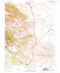
1955 Map of Chittenden
USGS Topo · Published 1969About this map
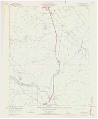
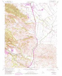
Gavilan Junior College and the surrounding agricultural valleys are the focal point of this mid-century landscape where the Santa Cruz Mountains meet the San Ysidro Valley. The Southern Pacific railroad corridor dictates the placement of transit-dependent settlements like Corporal, Sargent, and Chittenden. Significant geological and hydrologic features are mapped in detail, including the San Andreas Rift Zone and the confluence of the Pajaro River and San Benito River. The map highlights the transition from the rolling terrain of the Lomerias Muertas to the flat expanse of the Llano De Tequisquita. Small industrial footprints such as Quarry Lake and a Gravel Pit appear alongside natural water bodies like Soda Lake and Anzar Lake, illustrating the intersection of natural resources and early development in this Central Coast region.
Find a feature on this map
35 named features on this map. Tap any name to fly to it.
Don’t see what you’re looking for? This feature index may not catch every label — zoom into the map to look around manually.
Map Details
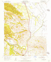
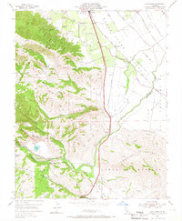
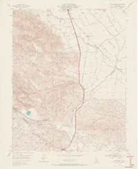
Editions of this 1955 Chittenden Map
10 editions found
Other maps of this area

1915 · San Juan Bautista
USGS Topo · 1:48,000

1917 · Morgan Hill
USGS Topo · 1:62,500

1917 · San Juan Bautista
USGS Topo · 1:62,500

1919 · Hollister
USGS Topo · 1:48,000

1921 · Gilroy Hot Springs
USGS Topo · 1:62,500

1921 · Hollister
USGS Topo · 1:62,500

1923 · Hollister
USGS Topo · 1:62,500

1939 · Morgan Hill
USGS Topo · 1:62,500

1939 · Gilroy Hot Springs
USGS Topo · 1:62,500

1939 · San Juan Bautista
USGS Topo · 1:62,500