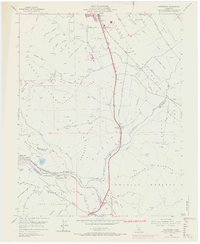
1955 Map of Chittenden
USGS Topo · Published 1969About this map
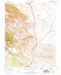
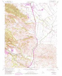
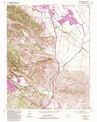
Sargent Oil Fields and the complex drainage of the Pajaro River define this corner of the Santa Clara Valley during the mid-20th century. The landscape is a mix of agricultural enterprise and industrial extraction, where the Southern Pacific railroad follows the river through the narrow Chittenden Pass and Pajaro Gap. Near the southern edge of Gilroy, the recently developed Gavilan Junior College campus appears alongside historic routes like Frazier Lake Road and Bloomfield Ave.
Find a feature on this map
82 named features on this map. Tap any name to fly to it.
Don’t see what you’re looking for? This feature index may not catch every label — zoom into the map to look around manually.
Map Details
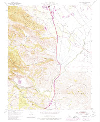
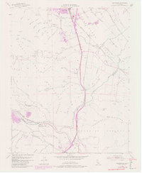
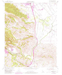
Editions of this 1955 Chittenden Map
10 editions found
Other maps of this area

1915 · San Juan Bautista
USGS Topo · 1:48,000

1917 · Morgan Hill
USGS Topo · 1:62,500

1917 · San Juan Bautista
USGS Topo · 1:62,500

1919 · Hollister
USGS Topo · 1:48,000

1921 · Gilroy Hot Springs
USGS Topo · 1:62,500

1921 · Hollister
USGS Topo · 1:62,500

1923 · Hollister
USGS Topo · 1:62,500

1939 · Morgan Hill
USGS Topo · 1:62,500

1939 · Gilroy Hot Springs
USGS Topo · 1:62,500

1939 · San Juan Bautista
USGS Topo · 1:62,500