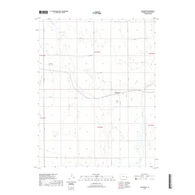
2019 Map of Chivington
USGS Topo · Published 2019About this map
Chivington sits at the heart of this high plains landscape in Kiowa County, where the topography is defined by the intermittent flows of Big Sandy Cr and Rush Cr. The settlement is a focal point for the surrounding rural sections, illustrating the sparse but deliberate layout of eastern Colorado’s ranching and agricultural country. The drainage patterns of the Big Sandy Cr basin dominate the eastern half of the map, showing how water—even in ephemeral form—dictates the movement and development of the region. This 2019 survey provides a contemporary perspective on the town’s footprint and the enduring section lines that have organized this territory since the early days of western expansion.
Find a feature on this map
3 named features on this map. Tap any name to fly to it.
Don’t see what you’re looking for? This feature index may not catch every label — zoom into the map to look around manually.
Map Details
Editions of this 2019 Chivington Map
This is the sole edition of this map. No revisions or reprints were ever made.
Other maps of this area
1890 · Granada
USGS Topo · 1:125,000
1891 · Kit Carson
USGS Topo · 1:125,000
1892 · Lamar
USGS Topo · 1:125,000
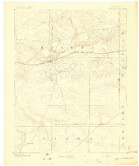
1892 · Cheyenne Wells
USGS Topo · 1:125,000
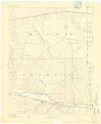
1892 · Granada
USGS Topo · 1:125,000
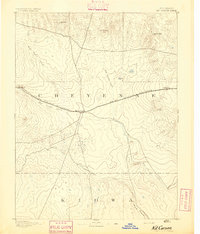
1893 · Kit Carson
USGS Topo · 1:125,000
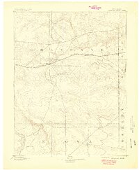
1894 · Cheyenne Wells
USGS Topo · 1:125,000
1894 · Granada
USGS Topo · 1:125,000
1954 · Lamar
USGS Topo · 1:250,000
1958 · Lamar
USGS Topo · 1:250,000