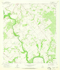
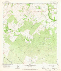
1963 Map of Choate
USGS Topo · Published 1965About this map
The San Antonio River meanders through this portion of Karnes County, defining a landscape dominated by the mid-century petroleum industry. In the early 1960s, the region was heavily partitioned into active production zones including the Runge Oil Field, Porter Oil Field, and Dunwolters Oil Field. Near the banks of Chicken Creek, the Cabeza Creek Refinery stands as a focal point of local processing, while a network of pipelines and gravel pits connects the various drilling sites across the rolling terrain.
Find a feature on this map
22 named features on this map. Tap any name to fly to it.
Don’t see what you’re looking for? This feature index may not catch every label — zoom into the map to look around manually.
Map Details
Editions of this 1963 Choate Map
2 editions found
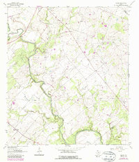
Other maps of this area

1936 · Pettus
USGS Topo · 1:62,500

1953 · Beeville
USGS Topo · 1:250,000

1956 · Beeville
USGS Topo · 1:250,000

1956 · Pettus
USGS Topo · 1:62,500

1956 · Karnes City
USGS Topo · 1:62,500

1960 · Beeville
USGS Topo · 1:250,000

1960 · Helena
USGS Topo · 1:24,000
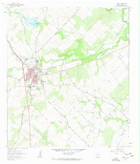
1961 · Kenedy
USGS Topo · 1:24,000
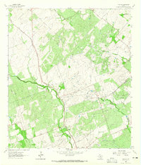
1963 · Tulsita
USGS Topo · 1:24,000
1963 · Berclair NW
USGS Topo · 1:24,000