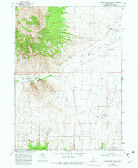
1968 Map of Chokecherry Canyon
USGS Topo · Published 1982About this map
The Upper Raft River Valley is defined by its transition from the high Sage Mountains and Bally Mts down to the wide basin where the Raft River flows. This 1968 field check reveals a landscape primarily dedicated to cattle ranching and early mineral exploration, evidenced by scattered prospects and multiple borrow pits. The hydrologic network is vital in this arid environment, with Onemile Creek, Barnes Creek, and Fall Creek draining the mountain slopes toward the river. Notable infrastructure includes a Gaging Station located near the constricted passage known as The Narrows, which serves as a critical point for monitoring water flow. Local history is anchored by family-named landmarks like Womack Canyon Spring and a small Cem located near the valley floor, providing valuable markers for genealogists tracing early Cassia County settlers.
Find a feature on this map
22 named features on this map. Tap any name to fly to it.
Don’t see what you’re looking for? This feature index may not catch every label — zoom into the map to look around manually.
Map Details
Editions of this 1968 Chokecherry Canyon Map
2 editions found

Other maps of this area

1954 · Pocatello
USGS Topo · 1:250,000

1954 · Brigham City
USGS Topo · 1:250,000

1958 · Pocatello
USGS Topo · 1:250,000

1958 · Brigham City
USGS Topo · 1:250,000

1959 · Park Valley
USGS Topo · 1:62,500

1959 · Yost
USGS Topo · 1:62,500

1962 · Brigham City
USGS Topo · 1:250,000

1968 · Jim Sage Canyon
USGS Topo · 1:24,000

1968 · Elba
USGS Topo · 1:24,000

1968 · Kane Canyon
USGS Topo · 1:24,000