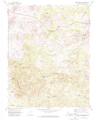
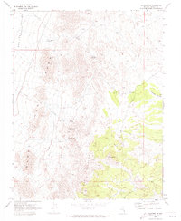
1970 Map of Chokecherry Mtn.
USGS Topo · Published 1973About this map
Chokecherry Mountain and the surrounding high desert terrain in Lincoln County appear here in a snapshot of the early 1970s. The landscape is defined by the convergence of the Burnt Springs Range and the Delamar Mountains, where the path of highway 93 crests at Oak Springs Summit. This area is characterized by its vital water sources, from the Balm of Gilead Spring to the Nelson Spring, which likely supported livestock and transient travelers in an arid environment. Mining history is evident in the southeastern reaches of the map, where the Paylor Mine and Taylor Mine are situated near Paylor Mine Canyon. This 1970 survey captures a network of Jeep Trails and Pack Trails that provided access to these remote operations and springs long before modern development altered the region.
Find a feature on this map
43 named features on this map. Tap any name to fly to it.
Don’t see what you’re looking for? This feature index may not catch every label — zoom into the map to look around manually.
Map Details
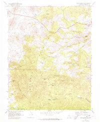
Editions of this 1970 Chokecherry Mtn. Map
2 editions found
Other maps of this area

1885 · Pioche
USGS Topo · 1:250,000

1886 · Pioche
USGS Topo · 1:250,000

1954 · Caliente
USGS Topo · 1:250,000

1959 · Caliente
USGS Topo · 1:250,000

1969 · Delamar
USGS Topo · 1:24,000

1969 · Elgin NE
USGS Topo · 1:24,000

1969 · Slidy Mountain
USGS Topo · 1:24,000
1970 · Pahroc Spring SE
USGS Topo · 1:24,000
1970 · Pahroc Spring NE
USGS Topo · 1:24,000
1970 · Caliente NW
USGS Topo · 1:24,000