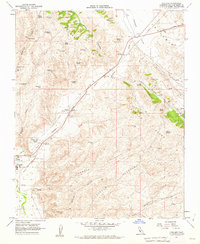
1961 Map of Cholame
USGS Topo · Published 1962About this map
Cholame and Shandon anchor this early 1960s study of the San Luis Obispo County interior, where the dry landscape is defined by its seasonal water sources and deep-cut canyons. The Cholame Creek valley serves as a primary corridor through the high ground, passing through a terrain marked by numerous named springs such as Bee Tree Spring, Rock Spring, and Elder Spring. These water points were critical for cattle ranching and early settlement in the rain shadow of the Temblor Range.
Find a feature on this map
33 named features on this map. Tap any name to fly to it.
Don’t see what you’re looking for? This feature index may not catch every label — zoom into the map to look around manually.
Map Details
Editions of this 1961 Cholame Map
4 editions found
Other maps of this area

1914 · Cholame
USGS Topo · 1:125,000

1915 · Cholame
USGS Topo · 1:125,000

1917 · Cholame
USGS Topo · 1:125,000

1942 · Tent Hills
USGS Topo · 1:24,000

1943 · Grant Lake
USGS Topo · 1:31,680

1943 · Shandon
USGS Topo · 1:31,680

1943 · Commatti Canyon
USGS Topo · 1:31,680
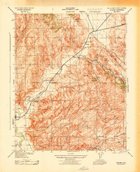
1943 · Cholame
USGS Topo · 1:31,680
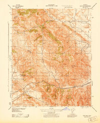
1943 · Tent Hills
USGS Topo · 1:31,680

1943 · Shedd Canyon
USGS Topo · 1:31,680