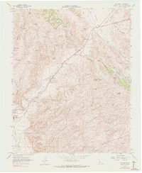
1961 Map of Cholame
USGS Topo · Published 1972About this map
Cholame Creek and the Temblor Range define this portion of the California Coast Ranges, where the landscape transitions between high ridges and deep alluvial canyons. The settlement of Cholame serves as a small hub at the intersection of local water resources and early highway routes, while further south, the town of Shandon sits near the banks of San Juan Creek. This 1961 field-checked survey highlights a region shaped by its hydrology, with numerous named water sources like Jespersen Spring, Adobe Springs, and Granger Spring dotting the arid hillsides.
Find a feature on this map
31 named features on this map. Tap any name to fly to it.
Don’t see what you’re looking for? This feature index may not catch every label — zoom into the map to look around manually.
Map Details
Editions of this 1961 Cholame Map
4 editions found
Other maps of this area

1914 · Cholame
USGS Topo · 1:125,000

1915 · Cholame
USGS Topo · 1:125,000

1917 · Cholame
USGS Topo · 1:125,000

1942 · Tent Hills
USGS Topo · 1:24,000

1943 · Grant Lake
USGS Topo · 1:31,680

1943 · Shandon
USGS Topo · 1:31,680

1943 · Commatti Canyon
USGS Topo · 1:31,680
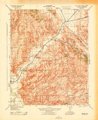
1943 · Cholame
USGS Topo · 1:31,680
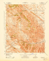
1943 · Tent Hills
USGS Topo · 1:31,680

1943 · Shedd Canyon
USGS Topo · 1:31,680