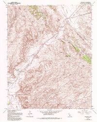
1961 Map of Cholame
USGS Topo · Published 1993About this map
The San Andreas Rift Zone slices diagonally across this portion of San Luis Obispo County, dictating the alignment of the valley floor and the surrounding heights of the Temblor Range and Cholame Hills. Near the junction of Bitterwater Road, the James Dean Memorial marks a significant local landmark within the settlement of Cholame. To the southwest, the community of Shandon sits at the confluence of the Estrella River and Shandon Creek, serving as a hub for the surrounding ranching and agricultural operations.
Find a feature on this map
43 named features on this map. Tap any name to fly to it.
Don’t see what you’re looking for? This feature index may not catch every label — zoom into the map to look around manually.
Map Details
Editions of this 1961 Cholame Map
4 editions found
Other maps of this area

1914 · Cholame
USGS Topo · 1:125,000

1915 · Cholame
USGS Topo · 1:125,000

1917 · Cholame
USGS Topo · 1:125,000

1942 · Tent Hills
USGS Topo · 1:24,000

1943 · Grant Lake
USGS Topo · 1:31,680

1943 · Shandon
USGS Topo · 1:31,680

1943 · Commatti Canyon
USGS Topo · 1:31,680
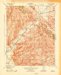
1943 · Cholame
USGS Topo · 1:31,680
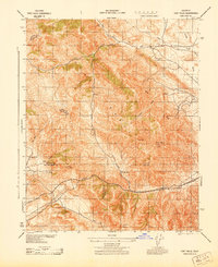
1943 · Tent Hills
USGS Topo · 1:31,680

1943 · Shedd Canyon
USGS Topo · 1:31,680