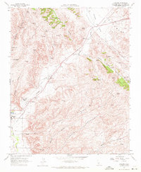
1961 Map of Cholame
USGS Topo · Published 1972About this map
The Cholame Valley serves as a central corridor for this part of the California Coast Ranges, where the Temblor Range and Cholame Hills frame a landscape defined by seasonal water and early infrastructure. Water management is a critical theme, evidenced by numerous developed sites like Adobe Springs, White Spring, and Bruce Spring, alongside a Gaging Sta on Cholame Creek. The mapping reveals a sparse but deliberate settlement pattern around Cholame and Shandon, linked by industrial improvements including a Pumping Station, Substation, and several Pipelines. Land use in the early 1960s appears centered on ranching and utilities, with property boundaries marked by fence lines and rugged transit indicated by the Jeep Trail and the steep Antelope Grade. Genealogists may find value in the location of the Shandon Cemetery, situated just north of the junction between the creek and the valley's primary road system.
Find a feature on this map
39 named features on this map. Tap any name to fly to it.
Don’t see what you’re looking for? This feature index may not catch every label — zoom into the map to look around manually.
Map Details
Editions of this 1961 Cholame Map
4 editions found
Other maps of this area

1914 · Cholame
USGS Topo · 1:125,000

1915 · Cholame
USGS Topo · 1:125,000

1917 · Cholame
USGS Topo · 1:125,000

1942 · Tent Hills
USGS Topo · 1:24,000

1943 · Grant Lake
USGS Topo · 1:31,680

1943 · Shandon
USGS Topo · 1:31,680

1943 · Commatti Canyon
USGS Topo · 1:31,680
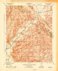
1943 · Cholame
USGS Topo · 1:31,680
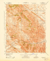
1943 · Tent Hills
USGS Topo · 1:31,680

1943 · Shedd Canyon
USGS Topo · 1:31,680