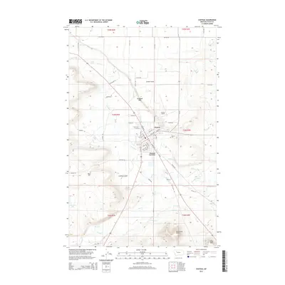
2014 Map of Choteau
USGS Topo · Published 2014About this map
Choteau serves as the focal point of this Teton County landscape, situated where the Teton River flows through the high plains. The town's grid is well-defined by landmarks like the Choteau Cem and the Choteau Airport, while the nearby Choteau Junction marks a key intersection for regional travel. The surrounding terrain is characterized by distinctive geological formations, including the prominent Priest Butte and Rattlesnake Butte to the southeast, which rise sharply above the river valley.
Find a feature on this map
68 named features on this map. Tap any name to fly to it.
Don’t see what you’re looking for? This feature index may not catch every label — zoom into the map to look around manually.
Map Details
Editions of this 2014 Choteau Map
This is the sole edition of this map. No revisions or reprints were ever made.
Other maps of this area
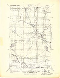
1920 · Choteau
USGS Topo · 1:125,000
1955 · Choteau
USGS Topo · 1:250,000
1957 · Choteau
USGS Topo · 1:250,000
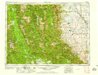
1958 · Choteau
USGS Topo · 1:250,000
1960 · Bynum
USGS Topo · 1:62,500
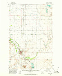
1960 · Choteau
USGS Topo · 1:62,500
1960 · Gilman
USGS Topo · 1:62,500
1960 · Freezeout Lake
USGS Topo · 1:62,500
1962 · Choteau
USGS Topo · 1:250,000
1976 · Choteau
USGS Topo · 1:250,000