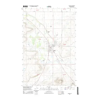
2017 Map of Choteau
USGS Topo · Published 2017About this map
Choteau serves as the primary hub of this Teton County landscape, where the street grid is bisected by the Teton River as it flows eastward. The area’s water management and agricultural heritage are evidenced by the elaborate network of the Cascade Canal and the S-T Canal, alongside natural drainage features like Gamble Coulee and Cashman Coulee. To the south, the terrain becomes more pronounced with prominent landmarks such as Rattlesnake Butte and Priest Butte rising above the plains. The map provides a look at local infrastructure including the Choteau Airport and the Choteau Cem, while rural family-named locations such as Truchot Hill and Burd Hill help locate early 21st-century property boundaries and land use. The convergence of highways at Choteau Junction highlights the town's role as a regional crossroads.
Find a feature on this map
65 named features on this map. Tap any name to fly to it.
Don’t see what you’re looking for? This feature index may not catch every label — zoom into the map to look around manually.
Map Details
Editions of this 2017 Choteau Map
This is the sole edition of this map. No revisions or reprints were ever made.
Other maps of this area
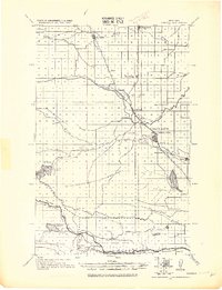
1920 · Choteau
USGS Topo · 1:125,000
1955 · Choteau
USGS Topo · 1:250,000
1957 · Choteau
USGS Topo · 1:250,000
1958 · Choteau
USGS Topo · 1:250,000
1960 · Bynum
USGS Topo · 1:62,500
1960 · Choteau
USGS Topo · 1:62,500
1960 · Gilman
USGS Topo · 1:62,500
1960 · Freezeout Lake
USGS Topo · 1:62,500
1962 · Choteau
USGS Topo · 1:250,000
1976 · Choteau
USGS Topo · 1:250,000