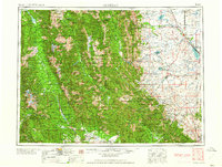
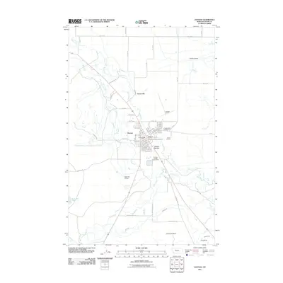
1958 Map of Choteau
USGS Topo · Published 1958About this map
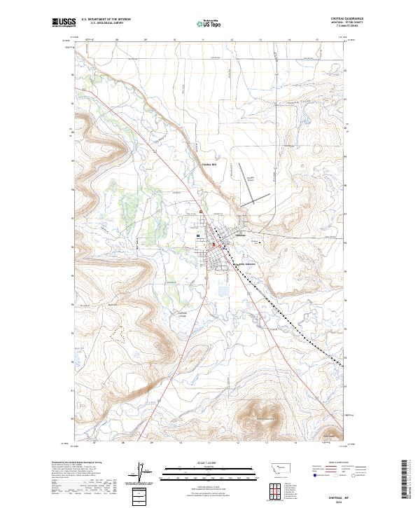
The Continental Divide serves as the central spine of this 1958 survey, separating the high peaks of the Lewis and Clark Range from the vast irrigated plains to the east. The map captures the specialized agricultural and water-management systems of Teton County, where the Teton River and Sun River feed a network of storage sites like Pishkun Reservoir, Bynum Reservoir, and Willow Creek Reservoir. These man-made features contrast with the alpine terrain of the Flathead National Forest and the Mission Range to the west, where chains of glacial waters including Swan Lake and Seeley Lake dominate the valley floors. Settlement is concentrated along the rail lines that served the region's ranching and grain interests. The Great Northern RR reaches into Choteau and Bynum, while the Chicago Milwaukee St Paul and Pacific RR terminates near Gilman and Augusta, marking the transition between the mountain wilderness and the open prairie.
Find a feature on this map
55 named features on this map. Tap any name to fly to it.
Don’t see what you’re looking for? This feature index may not catch every label — zoom into the map to look around manually.
Map Details
Editions of this 1958 Choteau Map
2 editions found

Historical Maps of Choteau Through Time
14 maps found

1920 Choteau
Teton County, MT

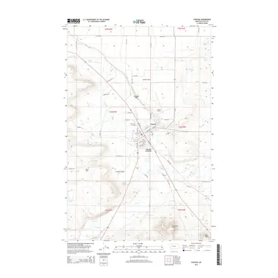
1955 Choteau
Teton County, MT

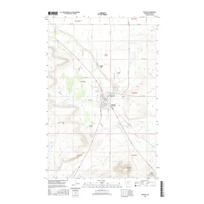
1957 Choteau
Teton County, MT
1958 Choteau
Teton County, MT
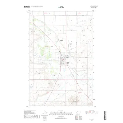
1960 Choteau
Teton County, MT

1962 Choteau
Teton County, MT

1976 Choteau
Teton County, MT
1984 Choteau
Teton County, MT
1987 Choteau
Teton County, MT
2011 Choteau
Teton County, MT
2014 Choteau
Teton County, MT
2017 Choteau
Teton County, MT
2020 Choteau
Teton County, MT
2024 Choteau
Teton County, MT