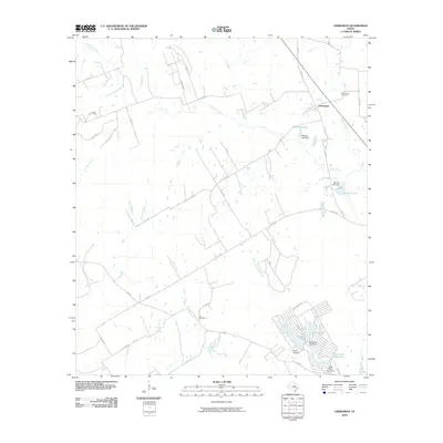
2010 Map of Chriesman
USGS Topo · Published 2010About this map
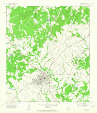
Chriesman sits at the northern end of this Burleson County survey, serving as a focal point for a landscape defined by its riparian networks and residential water developments. The topography is shaped by the winding course of Davidson Creek and its many tributaries, including Frost Branch, Dry Creek, and Hooker Creek. These natural waterways are complemented by a series of engineered water bodies, most notably the residential community surrounding Cade Lakes to the south.
Find a feature on this map
44 named features on this map. Tap any name to fly to it.
Don’t see what you’re looking for? This feature index may not catch every label — zoom into the map to look around manually.
Map Details
Editions of this 2010 Chriesman Map
This is the sole edition of this map. No revisions or reprints were ever made.
Other maps of this area

1919 · Dime Box
USGS Topo · 1:62,500

1954 · Austin
USGS Topo · 1:250,000

1956 · Caldwell
USGS Topo · 1:62,500

1956 · Milano
USGS Topo · 1:62,500

1956 · Somerville
USGS Topo · 1:62,500
1960 · Tanglewood
USGS Topo · 1:24,000
1960 · Frenstat
USGS Topo · 1:24,000
1960 · Deanville
USGS Topo · 1:24,000
1961 · Caldwell
USGS Topo · 1:24,000

1961 · Rockdale East
USGS Topo · 1:24,000