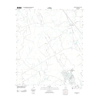
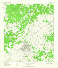
2013 Map of Chriesman
USGS Topo · Published 2013About this map
Chriesman serves as the focal point of this Burleson County landscape, situated where FM-1363 meets Gulf St and the rail line. The surrounding rural geography is defined by the winding course of Davidson Creek and its many tributaries, including Frost Branch and Second Davidson Creek. This 2013 survey illustrates a distinct contrast between the traditional agricultural holdings and modern residential developments. To the southeast, the Cade Lakes area represents a dense network of residential streets such as Sundowners Trail and Tejas Trail, circling water bodies like Cade Lake Number 3. Genealogists will find significant value in the documentation of several burial sites, including Chriesman Cemetery, Cox Cemetery, and Shiloh Cemetery, which mark the generational roots of this Central Texas community.
Find a feature on this map
80 named features on this map. Tap any name to fly to it.
Don’t see what you’re looking for? This feature index may not catch every label — zoom into the map to look around manually.
Map Details
Editions of this 2013 Chriesman Map
This is the sole edition of this map. No revisions or reprints were ever made.
Other maps of this area

1919 · Dime Box
USGS Topo · 1:62,500

1954 · Austin
USGS Topo · 1:250,000

1956 · Caldwell
USGS Topo · 1:62,500

1956 · Milano
USGS Topo · 1:62,500

1956 · Somerville
USGS Topo · 1:62,500
1960 · Tanglewood
USGS Topo · 1:24,000
1960 · Frenstat
USGS Topo · 1:24,000
1960 · Deanville
USGS Topo · 1:24,000
1961 · Caldwell
USGS Topo · 1:24,000

1961 · Rockdale East
USGS Topo · 1:24,000