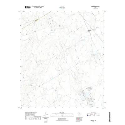
2019 Map of Chriesman
USGS Topo · Published 2019About this map
The settlement of Chriesman sits near the headwaters of Davidson Cr and Thompson Br in this part of Burleson County. This landscape is defined by its complex network of seasonal drainages, including Dry Cr, Second Davidson Cr, and Hooker Cr, which shape the terrain between the Milam County line and the settled areas to the southeast. For local historians and genealogists, three distinct burial sites are identified: Chriesman Cem near the town site, Cox Cem further west, and Shiloh Cem in the southern portion of the quadrangle. Small water bodies like Williams Lake, Bowers Lake, and Spring Lake dot the eastern side of the survey. The road network transition from established routes like FM 908 and FM 1363 to numerous county and private roads illustrates the rural residential and agricultural character of the area in recent years.
Find a feature on this map
80 named features on this map. Tap any name to fly to it.
Don’t see what you’re looking for? This feature index may not catch every label — zoom into the map to look around manually.
Map Details
Editions of this 2019 Chriesman Map
This is the sole edition of this map. No revisions or reprints were ever made.
Other maps of this area
1919 · Dime Box
USGS Topo · 1:62,500

1954 · Austin
USGS Topo · 1:250,000
1956 · Caldwell
USGS Topo · 1:62,500
1956 · Milano
USGS Topo · 1:62,500
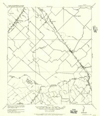
1956 · Somerville
USGS Topo · 1:62,500
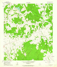
1960 · Tanglewood
USGS Topo · 1:24,000
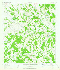
1960 · Frenstat
USGS Topo · 1:24,000
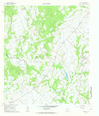
1960 · Deanville
USGS Topo · 1:24,000
1961 · Caldwell
USGS Topo · 1:24,000
1961 · Rockdale East
USGS Topo · 1:24,000