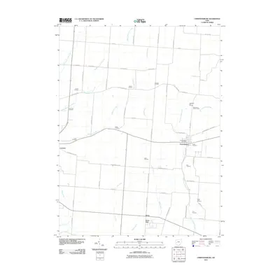
2010 Map of Christiansburg
USGS Topo · Published 2010About this map
Christiansburg and the surrounding farmland of Champaign and Miami counties are defined by a network of drainage ways and family-named landmarks. The village center, supported by the Christiansburg Post Office, sits at the intersection of local routes like Christiansburg Jackson Rd, while the neighboring settlement of Casstown anchors the western edge of the survey area. The landscape is notably dense with small family and community burial grounds, such as Youtsey Cemetery, Bright Cemetery, and Meek Cemetery, which provide significant points of interest for genealogical research.
Find a feature on this map
59 named features on this map. Tap any name to fly to it.
Don’t see what you’re looking for? This feature index may not catch every label — zoom into the map to look around manually.
Map Details
Editions of this 2010 Christiansburg Map
This is the sole edition of this map. No revisions or reprints were ever made.
Other maps of this area

1904 · Springfield
USGS Topo · 1:62,500

1904 · Dayton
USGS Topo · 1:62,500

1906 · Dayton
USGS Topo · 1:62,500

1906 · Springfield
USGS Topo · 1:62,500

1914 · Troy
USGS Topo · 1:62,500

1914 · St. Paris
USGS Topo · 1:62,500

1916 · St. Paris
USGS Topo · 1:62,500

1944 · St. Paris
USGS Topo · 1:62,500

1944 · Troy
USGS Topo · 1:62,500

1947 · Columbus
USGS Topo · 1:250,000