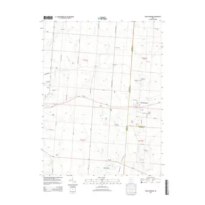
2013 Map of Christiansburg
USGS Topo · Published 2013About this map
Christiansburg stands as the primary hub of this agricultural landscape along the intersection of the Miami and Champaign county lines. The surrounding territory is characterized by a dense network of family-held agricultural lands such as Yingst Farms, Bair Farms, and Karnehm Farm, alongside smaller rural clusters like Alcony and Haven View.
Find a feature on this map
61 named features on this map. Tap any name to fly to it.
Don’t see what you’re looking for? This feature index may not catch every label — zoom into the map to look around manually.
Map Details
Editions of this 2013 Christiansburg Map
This is the sole edition of this map. No revisions or reprints were ever made.
Other maps of this area

1904 · Springfield
USGS Topo · 1:62,500

1904 · Dayton
USGS Topo · 1:62,500

1906 · Dayton
USGS Topo · 1:62,500

1906 · Springfield
USGS Topo · 1:62,500

1914 · Troy
USGS Topo · 1:62,500

1914 · St. Paris
USGS Topo · 1:62,500

1916 · St. Paris
USGS Topo · 1:62,500

1944 · St. Paris
USGS Topo · 1:62,500

1944 · Troy
USGS Topo · 1:62,500

1947 · Columbus
USGS Topo · 1:250,000