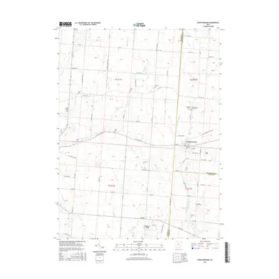
2016 Map of Christiansburg
USGS Topo · Published 2016About this map
Christiansburg anchors this landscape at the intersection of W Pike St and S Main St, where the borders of Miami, Champaign, and Clark Counties meet. The surrounding terrain is defined by a dense distribution of family and pioneer burial grounds, including the Huddleston-Sills Cem and Upper Honey Creek Cem near the headwaters of W Fork Honey Cr. These small cemeteries are scattered across a grid of rural township roads and county highways, reflecting the agricultural settlement patterns of western Ohio.
Find a feature on this map
112 named features on this map. Tap any name to fly to it.
Don’t see what you’re looking for? This feature index may not catch every label — zoom into the map to look around manually.
Map Details
Editions of this 2016 Christiansburg Map
This is the sole edition of this map. No revisions or reprints were ever made.
Other maps of this area

1904 · Springfield
USGS Topo · 1:62,500

1904 · Dayton
USGS Topo · 1:62,500

1906 · Dayton
USGS Topo · 1:62,500

1906 · Springfield
USGS Topo · 1:62,500

1914 · Troy
USGS Topo · 1:62,500

1914 · St. Paris
USGS Topo · 1:62,500

1916 · St. Paris
USGS Topo · 1:62,500

1944 · St. Paris
USGS Topo · 1:62,500

1944 · Troy
USGS Topo · 1:62,500

1947 · Columbus
USGS Topo · 1:250,000