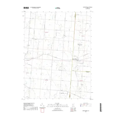
2019 Map of Christiansburg
USGS Topo · Published 2019About this map
Christiansburg sits at the eastern edge of Miami County, serving as a focal point for the surrounding agricultural landscape where the borders of Champaign and Clark Counties meet. This rural region is defined by a systematic grid of township and range lines, such as t2e r11n, and a network of county roads including E State Rte 55 and Co Hwy 26. The map reveals a dense concentration of historical burial grounds, such as Huddleston-Sills Cem, Upper Honey Creek Cem, and Sodom Cem, which suggest a long-established community of farmsteads and small crossroads settlements like Alcony and Haven View.
Find a feature on this map
81 named features on this map. Tap any name to fly to it.
Don’t see what you’re looking for? This feature index may not catch every label — zoom into the map to look around manually.
Map Details
Editions of this 2019 Christiansburg Map
This is the sole edition of this map. No revisions or reprints were ever made.
Other maps of this area

1904 · Springfield
USGS Topo · 1:62,500

1904 · Dayton
USGS Topo · 1:62,500

1906 · Dayton
USGS Topo · 1:62,500

1906 · Springfield
USGS Topo · 1:62,500

1914 · Troy
USGS Topo · 1:62,500

1914 · St. Paris
USGS Topo · 1:62,500

1916 · St. Paris
USGS Topo · 1:62,500

1944 · St. Paris
USGS Topo · 1:62,500

1944 · Troy
USGS Topo · 1:62,500

1947 · Columbus
USGS Topo · 1:250,000