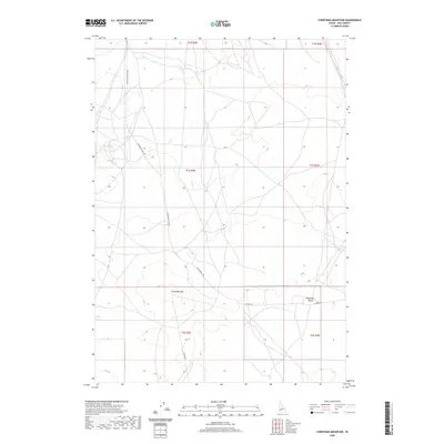
2020 Map of Christmas Mountain
USGS Topo · Published 2020About this map
Christmas Mtn and Flagstaff Butte rise above the high desert floor south of Boise in this contemporary record of Ada County. The landscape is defined by the ephemeral drainage of Sand Cr, which cuts through the northern sections of the map. While the terrain appears open and undeveloped, it is structured by a network of rural corridors including S Pleasant Valley Rd and S McConnell Rd. The map illustrates a modern state of land management where traditional section lines, noted by markers like t1s r2e, intersect with newer roads like W Range Rd. This survey captures the quiet transition of the Snake River Plain before the continued expansion of the surrounding metropolitan area reaches these high elevations.
Find a feature on this map
13 named features on this map. Tap any name to fly to it.
Don’t see what you’re looking for? This feature index may not catch every label — zoom into the map to look around manually.
Map Details
Editions of this 2020 Christmas Mountain Map
This is the sole edition of this map. No revisions or reprints were ever made.
Other maps of this area

1892 · Bisuka
USGS Topo · 1:125,000

1894 · Bisuka
USGS Topo · 1:125,000

1947 · Wild Horse Butte
USGS Topo · 1:24,000

1948 · Big Foot Butte
USGS Topo · 1:24,000

1948 · Wild Horse Butte
USGS Topo · 1:24,000

1948 · Big Foot Butte
USGS Topo · 1:62,500

1948 · Little Joe Butte
USGS Topo · 1:24,000

1949 · Little Joe Butte
USGS Topo · 1:24,000

1949 · Oreana
USGS Topo · 1:62,500

1955 · Christmas Mtn
USGS Topo · 1:24,000