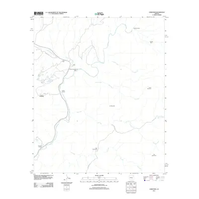
2011 Map of Christmas
USGS Topo · Published 2011About this map
Christmas serves as the focal point of this arid Gila County landscape, situated near the western bank of the winding Gila River. The topography is defined by significant elevation changes, from the prominent Lee Mountain and Corral Mountain to the sunken depths of Porphyry Gulch and O'Carroll Canyon. The drainage pattern is complex, with Deer Creek, Rock Creek, and Ash Creek cutting through the terrain toward the river valley.
Find a feature on this map
23 named features on this map. Tap any name to fly to it.
Don’t see what you’re looking for? This feature index may not catch every label — zoom into the map to look around manually.
Map Details
Editions of this 2011 Christmas Map
This is the sole edition of this map. No revisions or reprints were ever made.
Other maps of this area

1910 · Ray
USGS Topo · 1:62,500

1911 · Winkelman
USGS Topo · 1:125,000

1913 · Winkelman
USGS Topo · 1:125,000

1915 · Christmas
USGS Topo · 1:62,500

1917 · Christmas
USGS Topo · 1:62,500

1949 · Holy Joe Peak
USGS Topo · 1:62,500

1949 · Winkelman
USGS Topo · 1:24,000

1949 · Winkelman
USGS Topo · 1:62,500

1949 · Saddle Mtn.
USGS Topo · 1:24,000

1949 · Brandenburg Mtn
USGS Topo · 1:24,000