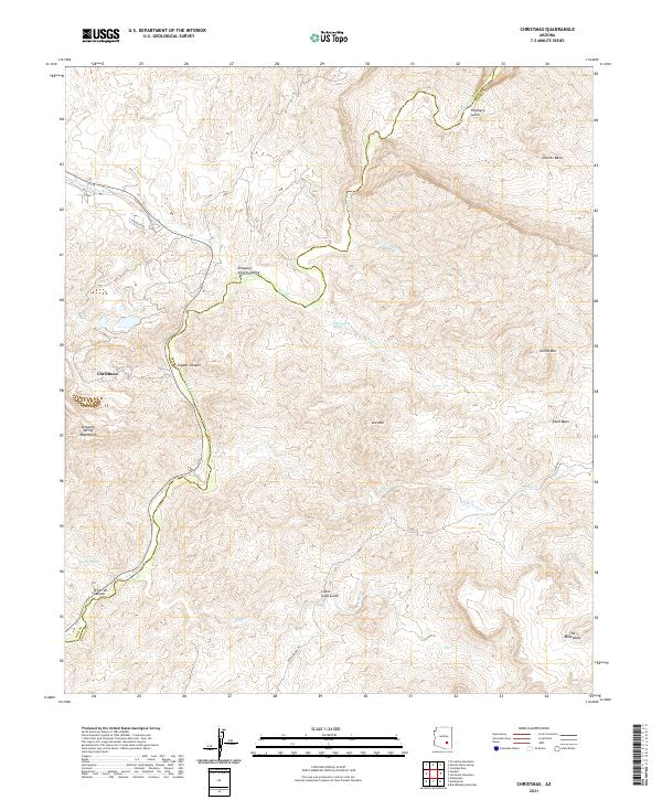
2021 Map of Christmas
USGS Topo · Published 2021About this map
The Gila River carves a serpentine path through this rugged corner of Arizona, marking the border between Gila and Pinal counties. The settlement of Christmas sits within the Dripping Spring Mountains, an area long defined by its geological complexity. This terrain is characterized by steep canyons and named gulches, such as Copper Canyon and Porphyry Gulch, names that hint at the region's mineral history.
Find a feature on this map
31 named features on this map. Tap any name to fly to it.
Don’t see what you’re looking for? This feature index may not catch every label — zoom into the map to look around manually.
Map Details
Editions of this 2021 Christmas Map
This is the sole edition of this map. No revisions or reprints were ever made.
Other maps of this area

1910 · Ray
USGS Topo · 1:62,500

1911 · Winkelman
USGS Topo · 1:125,000

1913 · Winkelman
USGS Topo · 1:125,000

1915 · Christmas
USGS Topo · 1:62,500

1917 · Christmas
USGS Topo · 1:62,500

1949 · Holy Joe Peak
USGS Topo · 1:62,500

1949 · Winkelman
USGS Topo · 1:24,000

1949 · Winkelman
USGS Topo · 1:62,500

1949 · Saddle Mtn.
USGS Topo · 1:24,000

1949 · Brandenburg Mtn
USGS Topo · 1:24,000