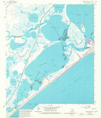
1965 Map of Christmas Point
USGS Topo · Published 1977About this map
Follets Island and the thin barrier of San Luis Island separate the open Gulf of Mexico from a complex network of shallow Texas bays and marshy sloughs. This 1965 survey, updated with 1974 photogrammetric revisions, documents the intricate coastal geography near San Luis Pass before significant modern development. The Intracoastal Waterway cuts a straight path through the landscape, bypassing the winding natural course of Bastrop Bayou and creating a distinct navigational corridor through Bastrop Bay and Christmas Bay.
Find a feature on this map
40 named features on this map. Tap any name to fly to it.
Don’t see what you’re looking for? This feature index may not catch every label — zoom into the map to look around manually.
Map Details
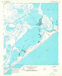
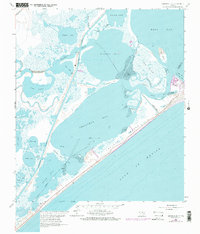
Editions of this 1965 Christmas Point Map
3 editions found
Other maps of this area

1929 · Karankawa Lake
USGS Topo · 1:24,000

1933 · Karankawa Lake
USGS Topo · 1:31,680

1933 · San Luis Pass
USGS Topo · 1:31,680

1943 · San Luis Pass
USGS Topo · 1:31,680

1943 · Oyster Creek
USGS Topo · 1:31,680

1943 · Danbury
USGS Topo · 1:31,680

1943 · Freeport
USGS Topo · 1:31,680
1943 · Carancahua Lake
USGS Topo · 1:24,000

1943 · Christmas Point
USGS Topo · 1:24,000

1943 · Chocolate Bay
USGS Topo · 1:24,000