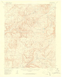
1957 Map of Chromo
USGS Topo · Published 1959About this map
The Little Navajo River and its numerous tributaries carve through the high-elevation terrain of southwestern Colorado, revealing a landscape defined by ranching and resource extraction in the late 1950s. Small settlements like Edith, Ewell, and the community of Chromo dot the southern reaches near the Colorado New Mexico border, where the land transitions from the high peaks of the Chalk Mountains to the broad mesas. The presence of several Oil Wells and an Artesian Well suggests active exploration during this era, while the Squaretop Guard Station indicates the administrative presence of the San Juan National Forest. The map detail follows the complex hydrology of the region, from the Blanco Basin in the north down to the Coyote Creek drainage, showing a network of Pack Trails that served as vital connections through the Klutter Mtn and Chromo Mtn backcountry before modern road expansion.
Find a feature on this map
69 named features on this map. Tap any name to fly to it.
Don’t see what you’re looking for? This feature index may not catch every label — zoom into the map to look around manually.
Map Details
Editions of this 1957 Chromo Map
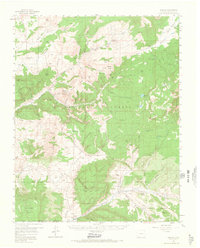
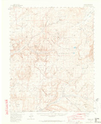
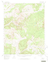
5 editions found

Other maps of this area

1889 · Largo
USGS Topo · 1:250,000

1895 · Largo
USGS Topo · 1:250,000

1913 · Summitville
USGS Topo · 1:125,000

1915 · Summitville
USGS Topo · 1:125,000

1924 · Pagosa Springs
USGS Topo · 1:125,000

1927 · Pagosa Springs
USGS Topo · 1:125,000

1945 · Durango
USGS Topo · 1:250,000

1953 · Durango
USGS Topo · 1:250,000

1954 · Durango
USGS Topo · 1:250,000

1954 · Aztec
USGS Topo · 1:250,000