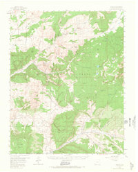
1957 Map of Chromo
USGS Topo · Published 1966About this map
The Navajo River and Rio Blanco carve through this high-altitude landscape along the border of Colorado and New Mexico in the mid-1950s. The small settlements of Chromo and Edith serve as the primary human outposts in an area dominated by the San Juan National Forest and complex land divisions, including the Tierra Amarilla Grant Boundary. Resource extraction is evident through the presence of an Artesian Well and an Oil Well near the riverbanks. High-country landmarks such as Squaretop Guard Station and Chromo Mtn overlook a network of alpine waters including Buckles Lake, Harris Lake, and Spring Creek Lakes. The map reveals a transition from the rugged canyons of the north to the broader mesas like Mesa Tierra Amarilla and Archuleta Mesa in the south, reflecting the area's diverse topographical character during this era of post-war mapping.
Find a feature on this map
61 named features on this map. Tap any name to fly to it.
Don’t see what you’re looking for? This feature index may not catch every label — zoom into the map to look around manually.
Map Details
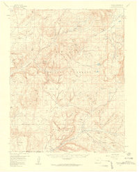
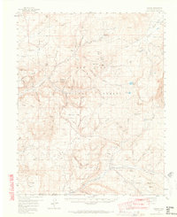
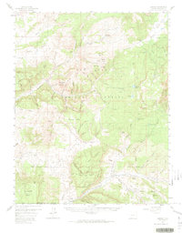
Editions of this 1957 Chromo Map
5 editions found

Other maps of this area

1889 · Largo
USGS Topo · 1:250,000

1895 · Largo
USGS Topo · 1:250,000

1913 · Summitville
USGS Topo · 1:125,000

1915 · Summitville
USGS Topo · 1:125,000

1924 · Pagosa Springs
USGS Topo · 1:125,000

1927 · Pagosa Springs
USGS Topo · 1:125,000

1945 · Durango
USGS Topo · 1:250,000

1953 · Durango
USGS Topo · 1:250,000

1954 · Durango
USGS Topo · 1:250,000

1954 · Aztec
USGS Topo · 1:250,000