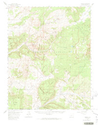
1957 Map of Chromo
USGS Topo · Published 1974About this map
Edith sits at the southern edge of this mid-century landscape, a small settlement near the Colorado and New Mexico border. The map captures a high-altitude wilderness dominated by the San Juan National Forest, where the complex drainage of the Rio Blanco and the Navajo River carves through massive landforms like Eightmile Mesa and Klutter Mtn. This era shows a landscape transitioning between remote timber and grazing land to early petroleum exploration, evidenced by scattered artesian wells and oil wells near Kenney Flats. Further north, the Squaretop Guard Station and established routes like the Blanco Basin Road and Leche Trail define the movement of forest rangers and local residents through the high basins. To the east, the Tierra Amarilla Grant boundary marks the enduring legacy of Spanish land grants in the region.
Find a feature on this map
71 named features on this map. Tap any name to fly to it.
Don’t see what you’re looking for? This feature index may not catch every label — zoom into the map to look around manually.
Map Details
Editions of this 1957 Chromo Map
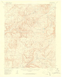
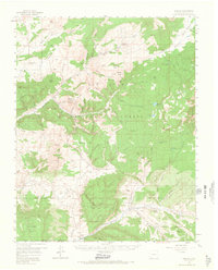
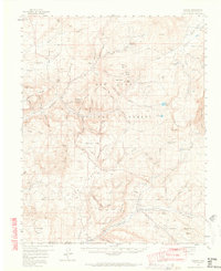
5 editions found

Other maps of this area

1889 · Largo
USGS Topo · 1:250,000

1895 · Largo
USGS Topo · 1:250,000

1913 · Summitville
USGS Topo · 1:125,000

1915 · Summitville
USGS Topo · 1:125,000

1924 · Pagosa Springs
USGS Topo · 1:125,000

1927 · Pagosa Springs
USGS Topo · 1:125,000

1945 · Durango
USGS Topo · 1:250,000

1953 · Durango
USGS Topo · 1:250,000

1954 · Durango
USGS Topo · 1:250,000

1954 · Aztec
USGS Topo · 1:250,000