
1944 Map of Chuckwalla Mountains
USGS Topo · Published 1945About this map
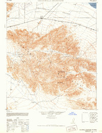
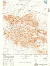
The Chuckwalla Mountains dominate this 1944 War Department survey, showing a landscape defined by desert water sources and hard-rock mining. The crossroads at Desert Center provides the primary point of settlement along the highway, while the interior of the range is marked by remote operations like the Lost Pony Mine, Red Cloud Mine, and Model Mine. These mining sites, connected by a network of unimproved desert roads and trails, point to the era's focus on mineral extraction in the Riverside County desert.
Find a feature on this map
23 named features on this map. Tap any name to fly to it.
Don’t see what you’re looking for? This feature index may not catch every label — zoom into the map to look around manually.
Map Details
Editions of this 1944 Chuckwalla Mountains Map
3 editions found
Other maps of this area

1940 · Frink
USGS Topo · 1:62,500

1940 · Iris Pass
USGS Topo · 1:62,500

1940 · Canyon Spring
USGS Topo · 1:62,500

1943 · Canyon Spring
USGS Topo · 1:62,500

1943 · Coxcomb Mountains
USGS Topo · 1:62,500

1944 · Eagle Tank
USGS Topo · 1:62,500

1944 · Coxcomb Mountains
USGS Topo · 1:62,500

1944 · Frink
USGS Topo · 1:62,500

1945 · Iris Pass
USGS Topo · 1:62,500

1952 · Sidewinder Well
USGS Topo · 1:62,500