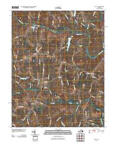
2010 Map of Chula
USGS Topo · Published 2010About this map
The Appomattox River winds across the northern landscape of this Amelia County region, where the historic community of Chula sits at a crossroads of rail and road. The map reveals a rural pattern of development focused around old milling sites like Giles Mill and agricultural landings such as Elk Hill and Coverly. Significant local heritage is preserved in several burial grounds, including the Grub Hill Cemetery and the Dutch Reformed Cemetery near Masons Corner. The presence of the Amelia WMA and Amelia Lake suggests a landscape increasingly managed for conservation and recreation, while the Hill Top Airport and multiple private dams, including Whittington Dam and Sunders Dam, point to a diverse mix of land use across the drainage basins of Flat Creek and Fighting Creek.
Find a feature on this map
63 named features on this map. Tap any name to fly to it.
Don’t see what you’re looking for? This feature index may not catch every label — zoom into the map to look around manually.
Map Details
Editions of this 2010 Chula Map
This is the sole edition of this map. No revisions or reprints were ever made.
Other maps of this area

1890 · Goochland
USGS Topo · 1:125,000

1891 · Palmyra
USGS Topo · 1:125,000

1891 · Farmville
USGS Topo · 1:125,000

1892 · Goochland
USGS Topo · 1:125,000

1893 · Farmville
USGS Topo · 1:125,000

1895 · Palmyra
USGS Topo · 1:125,000

1897 · Amelia
USGS Topo · 1:125,000

1897 · Palmyra
USGS Topo · 1:125,000

1943 · Fine Creek Mills
USGS Topo · 1:31,680

1943 · Powhatan
USGS Topo · 1:31,680