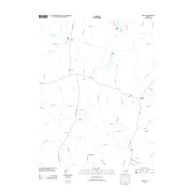
2013 Map of Chula
USGS Topo · Published 2013About this map
The Appomattox River winds across this section of Amelia County, serving as a primary geographic anchor for the dispersed rural communities of the early 21st century. Historically significant sites such as Giles Mill and the crossing at Giles Bridge suggest a landscape shaped by early water-powered industry and essential river transit. Small settlement clusters like Chula, Masons Corner, and Fieldstown are connected by a network of secondary roads, including Grub Hill Church Rd and Genito Rd. The map reveals a transition toward conservation and aviation with the presence of the Amelia WMA and Hill Top Airport, while agricultural roots persist at Oakmulgee Dairy. Numerous tributaries like Flat Creek and Nibbs Cr carve through the terrain, defining the drainage patterns that have influenced land use and property boundaries for generations.
Find a feature on this map
73 named features on this map. Tap any name to fly to it.
Don’t see what you’re looking for? This feature index may not catch every label — zoom into the map to look around manually.
Map Details
Editions of this 2013 Chula Map
This is the sole edition of this map. No revisions or reprints were ever made.
Other maps of this area

1890 · Goochland
USGS Topo · 1:125,000

1891 · Palmyra
USGS Topo · 1:125,000

1891 · Farmville
USGS Topo · 1:125,000

1892 · Goochland
USGS Topo · 1:125,000

1893 · Farmville
USGS Topo · 1:125,000

1895 · Palmyra
USGS Topo · 1:125,000

1897 · Amelia
USGS Topo · 1:125,000

1897 · Palmyra
USGS Topo · 1:125,000

1943 · Fine Creek Mills
USGS Topo · 1:31,680

1943 · Powhatan
USGS Topo · 1:31,680