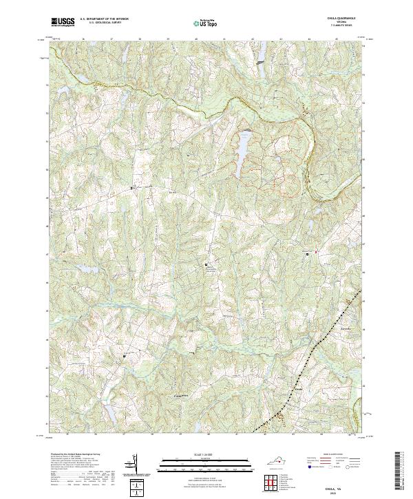
2022 Map of Chula
USGS Topo · Published 2022About this map
The Appomattox River winds through the central portion of this landscape, forming the natural border between Powhatan and Amelia counties. The settlement of Chula serves as a focal point near the southern edge of the sheet, situated within a network of watercourses including Flat Creek and Nibbs Cr. The area is characterized by a dense concentration of historical burial grounds and religious sites, such as the Pleasant Grove Baptist Church Cem and the prominent Grub Hill Cem, which suggest long-standing community foundations. Small residential clusters like Fieldstown, Elk Hill, and Coverly are connected by a web of local roads, including Genito Rd and Egglestetton Rd. This 2022 survey illustrates a region where land use remains primarily defined by its drainage basins and rural road networks, with Amelia Lake and Anderson Pond providing significant water features in an otherwise wooded and agricultural terrain.
Find a feature on this map
73 named features on this map. Tap any name to fly to it.
Don’t see what you’re looking for? This feature index may not catch every label — zoom into the map to look around manually.
Map Details
Editions of this 2022 Chula Map
This is the sole edition of this map. No revisions or reprints were ever made.
Other maps of this area

1890 · Goochland
USGS Topo · 1:125,000

1891 · Palmyra
USGS Topo · 1:125,000

1891 · Farmville
USGS Topo · 1:125,000

1892 · Goochland
USGS Topo · 1:125,000

1893 · Farmville
USGS Topo · 1:125,000

1895 · Palmyra
USGS Topo · 1:125,000

1897 · Amelia
USGS Topo · 1:125,000

1897 · Palmyra
USGS Topo · 1:125,000

1943 · Fine Creek Mills
USGS Topo · 1:31,680

1943 · Powhatan
USGS Topo · 1:31,680