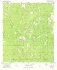
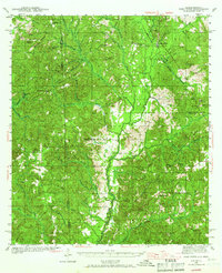
1982 Map of Chunchula
USGS Topo · Published 1982About this map
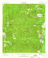
Chunchula and the surrounding piney woods of Mobile County are defined by a complex network of waterways and early industrial activity in the early 1980s. The Illinois Central Gulf railroad serves as the central corridor, passing through the heart of the settlement and crossing near Chickasaw Creek. To the north, Gulf Crest and Turnerville anchor the local landscape, the latter featuring Turnerville Ch and an adjacent Cem for genealogical interest.
Find a feature on this map
32 named features on this map. Tap any name to fly to it.
Don’t see what you’re looking for? This feature index may not catch every label — zoom into the map to look around manually.
Map Details
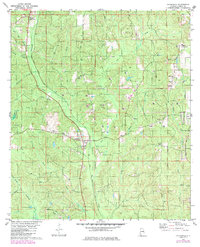
Editions of this 1982 Chunchula Map
2 editions found
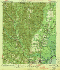
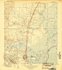
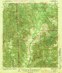
Other maps of this area
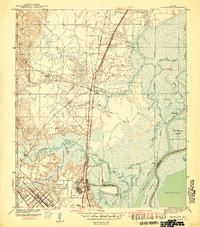
1941 · Chickasaw
USGS Topo · 1:31,680
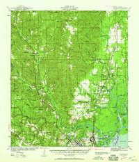
1941 · Creola
USGS Topo · 1:62,500

1942 · Kushla
USGS Topo · 1:31,680
1942 · Deer Park
USGS Topo · 1:62,500

1942 · Wilmer
USGS Topo · 1:62,500
1943 · Creola
USGS Topo · 1:62,500
1943 · Chickasaw
USGS Topo · 1:31,680
1943 · Deer Park
USGS Topo · 1:62,500
1943 · Citronelle
USGS Topo · 1:62,500

1944 · Wilmer
USGS Topo · 1:62,500