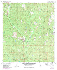
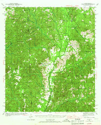
1982 Map of Chunchula
USGS Topo · Published 1986About this map
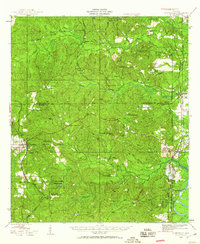
Chunchula and its surrounding Mobile County landscape appear here in a state of transition during the late 1970s and early 1980s, balancing rural settlement with an expanding energy and extraction footprint. The Illinois Central Gulf railroad serves as the central spine for the community, running past local landmarks like Chunchula and north toward Gulf Crest. The map is densely marked with signs of industry, from numerous Gas Wells dotting the piney woods to local Sandpits and a Claypit.
Find a feature on this map
31 named features on this map. Tap any name to fly to it.
Don’t see what you’re looking for? This feature index may not catch every label — zoom into the map to look around manually.
Map Details
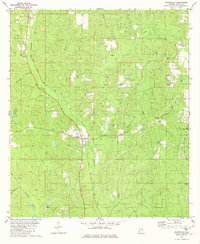
Editions of this 1982 Chunchula Map
2 editions found
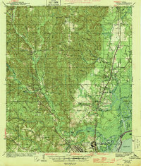
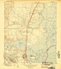
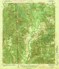
Other maps of this area
1941 · Chickasaw
USGS Topo · 1:31,680
1941 · Creola
USGS Topo · 1:62,500

1942 · Kushla
USGS Topo · 1:31,680
1942 · Deer Park
USGS Topo · 1:62,500

1942 · Wilmer
USGS Topo · 1:62,500
1943 · Creola
USGS Topo · 1:62,500
1943 · Chickasaw
USGS Topo · 1:31,680
1943 · Deer Park
USGS Topo · 1:62,500
1943 · Citronelle
USGS Topo · 1:62,500

1944 · Wilmer
USGS Topo · 1:62,500