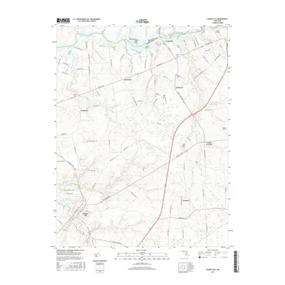
2017 Map of Church Hill
USGS Topo · Published 2017About this map
Chester River forms the northern boundary of this Maryland landscape, where the colonial-era village of Church Hill anchors the southern reaches. The terrain is defined by tidal branches and creeks, including Southeast Creek and Norris Creek, which weave through agricultural lands once dominated by large estates like those along Chino Farm Ln. Smaller historically significant communities such as Pondtown, McGinnes, and Crumpton are visible, each marked by local burial grounds including Mount Pleasant Cem and Double Creek Cem. The transition from riverfront topography at Bluff Point to the inland aviation fields of Flying Acres Airport and Roseland Airport illustrates the blend of maritime heritage and modern infrastructure in Queen Anne's County.
Find a feature on this map
106 named features on this map. Tap any name to fly to it.
Don’t see what you’re looking for? This feature index may not catch every label — zoom into the map to look around manually.
Map Details
Editions of this 2017 Church Hill Map
This is the sole edition of this map. No revisions or reprints were ever made.
Other maps of this area

1898 · Tolchester
USGS Topo · 1:125,000

1899 · Dover
USGS Topo · 1:125,000

1900 · Cecilton
USGS Topo · 1:62,500

1900 · Betterton
USGS Topo · 1:62,500

1901 · Chestertown
USGS Topo · 1:62,500

1903 · Tolchester
USGS Topo · 1:125,000

1905 · Barclay
USGS Topo · 1:62,500

1906 · Dover
USGS Topo · 1:125,000

1908 · Tolchester
USGS Topo · 1:125,000

1920 · Dover
USGS Topo · 1:125,000