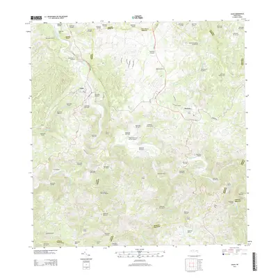
2013 Map of Ciales
USGS Topo · Published 2013About this map
Ciales and Morovis anchor this interior region of the Island of Puerto Rico, where the landscape is defined by a dense network of mountain streams and sharp peaks. The terrain is marked by numerous named cerros, including Cerro de la Bandera and Cerro Avispa, which rise above the deep valleys of the Rio Grande de Manati drainage. The 2013 survey illustrates the modern road network, including PR 149 and PR 155, connecting these highland communities.
Find a feature on this map
95 named features on this map. Tap any name to fly to it.
Don’t see what you’re looking for? This feature index may not catch every label — zoom into the map to look around manually.
Map Details
Editions of this 2013 Ciales Map
This is the sole edition of this map. No revisions or reprints were ever made.
Other maps of this area

1940 · Vega Alta
USGS Topo · 1:30,000

1942 · Manati
USGS Topo · 1:30,000

1942 · Barceloneta
USGS Topo · 1:30,000

1946 · Corozal
USGS Topo · 1:30,000

1946 · Barranquitas
USGS Topo · 1:30,000

1946 · Barceloneta
USGS Topo · 1:30,000

1946 · Ciales
USGS Topo · 1:30,000

1946 · Jayuya
USGS Topo · 1:30,000

1946 · Florida
USGS Topo · 1:30,000

1946 · Vega Alta
USGS Topo · 1:30,000