Loading...
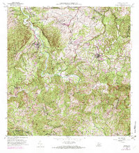
Loading map...1957 Map of Ciales
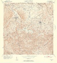
USGS Topo · Published 1971About this map
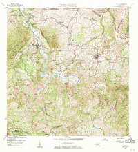
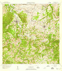
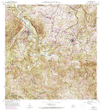
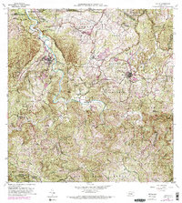
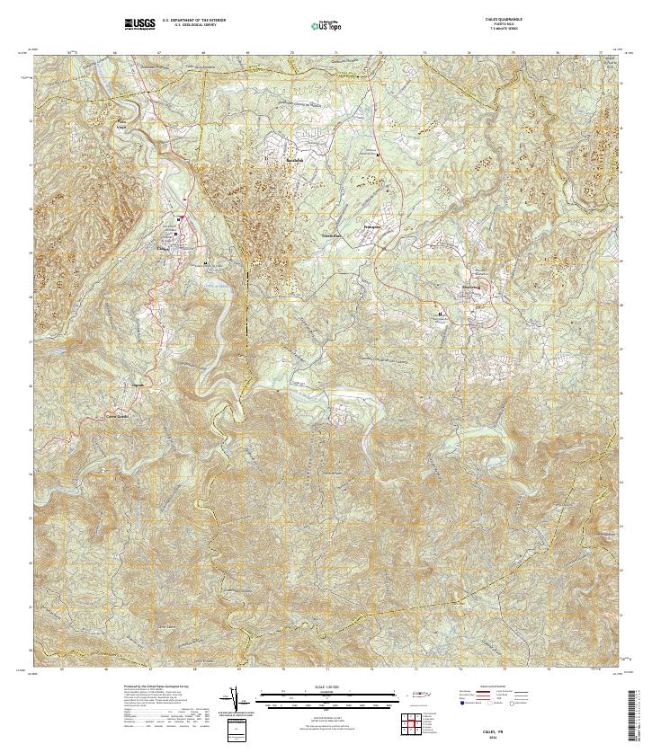
The town of Ciales and the neighboring municipality of Morovis center this 1957 revision, showcasing the intricate topography of north-central Puerto Rico. The landscape is defined by the winding course of the Rio Grande and its numerous tributaries, including Quebrada Maniquillo and Quebrada Riachuelo. This survey detail emphasizes the importance of local education and faith in the mid-century barrios, noting several rural institutions such as Escuela Segunda Unidad de Pozas, Escuela de Cadeca, and the Iglesia San Antonio.
Find a feature on this map
94 named features on this map. Tap any name to fly to it.
Don’t see what you’re looking for? This feature index may not catch every label — zoom into the map to look around manually.
Map Details
Date Portrayed1957
Date Published1971
PublisherU.S. Geological Survey
Map TypeTopographic
Scale1:20,000
Physical Dimensions29.5 x 32.4 inches
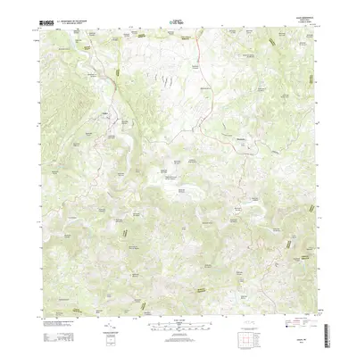
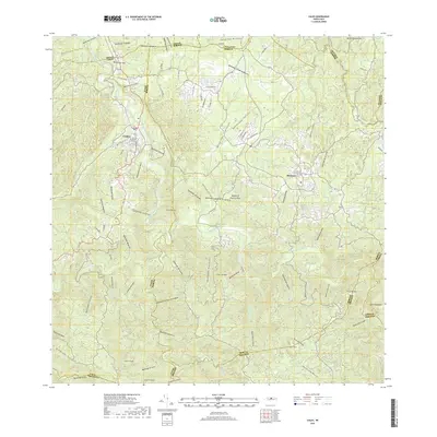
Editions of this 1957 Ciales Map
5 editions found
Historical Maps of Ciales Through Time
6 maps found

Featured Locations
- Sector La Loma de los Castro, Vega Baja
- Morovis, Morovis
- Sector La Alianza, Morovis
- Sector Vereda, Morovis
- Ciales, Ciales
Source Details
SourceU.S. Geological Survey
CopyrightPublic Domain