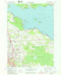
1973 Map of Cicero
USGS Topo · Published 1978About this map
The northern reaches of Oneida Lake dominate this mid-1970s survey, revealing a landscape of shoreline communities and expansive wetlands. Settlements such as Constantia and Forest Beach line the northern and western shores, while the expansive Cicero Swamp and Cicero State Game Management Area stretch across the southern interior. The map illustrates the suburban growth of North Syracuse and Cicero, where residential developments meet major infrastructure like the Cicero Interchange and the Hancock Field U S Air Force installation.
Find a feature on this map
71 named features on this map. Tap any name to fly to it.
Don’t see what you’re looking for? This feature index may not catch every label — zoom into the map to look around manually.
Map Details
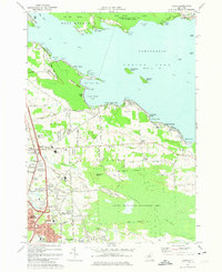
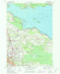
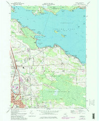
Editions of this 1973 Cicero Map
4 editions found
Other maps of this area

1895 · Chittenango
USGS Topo · 1:62,500

1895 · Syracuse
USGS Topo · 1:62,500

1898 · Syracuse
USGS Topo · 1:62,500

1898 · Chittenango
USGS Topo · 1:62,500

1902 · Chittenango
USGS Topo · 1:62,500

1905 · Mexico
USGS Topo · 1:62,500

1906 · Kasoag
USGS Topo · 1:62,500

1938 · Syracuse East
USGS Topo · 1:24,000

1939 · Syracuse West
USGS Topo · 1:24,000

1940 · Brewerton
USGS Topo · 1:24,000