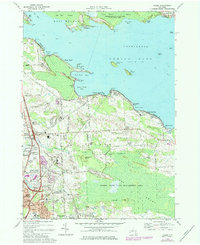
1973 Map of Cicero
USGS Topo · Published 1984About this map
Oneida Lake dominates the northern half of this 1970s survey, illustrating the complex shoreline and islands between Oswego and Onondaga Counties. The map details the transition from the lakeside communities of Constantia and Forest Beach to the wetlands of Big Bay Swamp and the Cicero State Game Management Area. This era shows significant suburban development and infrastructure south of the lake, including the Cicero Interchange and the expansive Hancock Field US Air Force base. Local history is preserved through labels for the Cicero Center Cemetery, the Sacred Heart Church, and specialized landmarks like a Drive-in Theater. The landscape is a mosaic of conservation land, such as the Threemile Bay State Game Management Area, and evolving residential patterns along Lake Shore Road.
Find a feature on this map
80 named features on this map. Tap any name to fly to it.
Don’t see what you’re looking for? This feature index may not catch every label — zoom into the map to look around manually.
Map Details
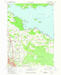
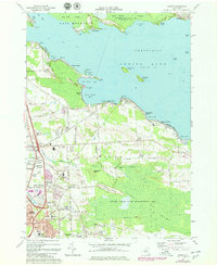
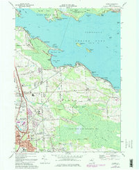
Editions of this 1973 Cicero Map
4 editions found
Other maps of this area

1895 · Chittenango
USGS Topo · 1:62,500

1895 · Syracuse
USGS Topo · 1:62,500

1898 · Syracuse
USGS Topo · 1:62,500

1898 · Chittenango
USGS Topo · 1:62,500

1902 · Chittenango
USGS Topo · 1:62,500

1905 · Mexico
USGS Topo · 1:62,500

1906 · Kasoag
USGS Topo · 1:62,500

1938 · Syracuse East
USGS Topo · 1:24,000

1939 · Syracuse West
USGS Topo · 1:24,000

1940 · Brewerton
USGS Topo · 1:24,000