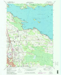
1973 Map of Cicero
USGS Topo · Published 1984About this map
Oneida Lake dominates the upper half of this landscape, its waters serving as part of the Erie Canal route through central New York. Along the southern shore, the township of Cicero shows significant mid-century suburban expansion, particularly near the Cicero Interchange and the residential clusters of North Syracuse. The southern half of the map is defined by the expansive Cicero Swamp and the Cicero State Game Management Area, where elevated features like Hall Island and Geersbeck Island emerge from the wetlands.
Find a feature on this map
65 named features on this map. Tap any name to fly to it.
Don’t see what you’re looking for? This feature index may not catch every label — zoom into the map to look around manually.
Map Details
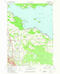
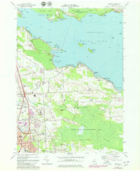
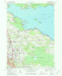
Editions of this 1973 Cicero Map
4 editions found
Other maps of this area

1895 · Chittenango
USGS Topo · 1:62,500

1895 · Syracuse
USGS Topo · 1:62,500

1898 · Syracuse
USGS Topo · 1:62,500

1898 · Chittenango
USGS Topo · 1:62,500

1902 · Chittenango
USGS Topo · 1:62,500

1905 · Mexico
USGS Topo · 1:62,500

1906 · Kasoag
USGS Topo · 1:62,500

1938 · Syracuse East
USGS Topo · 1:24,000

1939 · Syracuse West
USGS Topo · 1:24,000

1940 · Brewerton
USGS Topo · 1:24,000