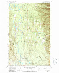
1965 Map of Cilly Creek
USGS Topo · Published 1987About this map
The Swan River carves a winding path through this corner of Lake County, Montana, serving as the central artery for a landscape defined by state and federal timber management. During this mid-century period, the area functioned as an active hub for the Swan River State Forest and the Flathead National Forest. Evidence of this administrative and recreational role is seen at the State Forest Headquarters and several riverside sites like Point Pleasant Campground.
Find a feature on this map
29 named features on this map. Tap any name to fly to it.
Don’t see what you’re looking for? This feature index may not catch every label — zoom into the map to look around manually.
Map Details
Editions of this 1965 Cilly Creek Map
2 editions found
Other maps of this area

1955 · Choteau
USGS Topo · 1:250,000

1957 · Choteau
USGS Topo · 1:250,000

1958 · Choteau
USGS Topo · 1:250,000

1962 · Choteau
USGS Topo · 1:250,000
1965 · Connor Creek
USGS Topo · 1:24,000
1965 · Swan Lake
USGS Topo · 1:24,000
1965 · Thunderbolt Mountain
USGS Topo · 1:24,000

1965 · Swan Peak
USGS Topo · 1:24,000
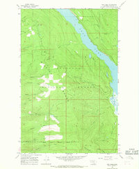
1965 · Yew Creek
USGS Topo · 1:24,000
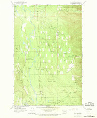
1965 · Cilly Creek
USGS Topo · 1:24,000