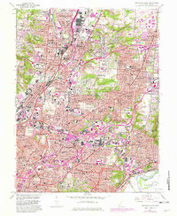
1961 Map of Cincinnati East
USGS Topo · Published 1982About this map
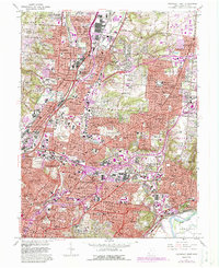
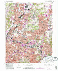
Mill Creek and the Baltimore and Ohio Railroad anchor a densely developed industrial and residential corridor through Reading, Lockland, and Wyoming. This mid-century survey captures the expanding suburban landscape of Hamilton County as newer developments like Kenwood Knolls and Rolling Knolls Estates appear alongside established village centers. The map preserves the locations of numerous parish schools such as St Charles Sch and St Marys Sch, which served the immigrant-rooted communities of Carthage and Elmwood Place.
Find a feature on this map
113 named features on this map. Tap any name to fly to it.
Don’t see what you’re looking for? This feature index may not catch every label — zoom into the map to look around manually.
Map Details
Editions of this 1961 Cincinnati East Map
6 editions found
Other maps of this area

1898 · East Cincinnati
USGS Topo · 1:62,500

1904 · Mason
USGS Topo · 1:62,500

1906 · Mason
USGS Topo · 1:62,500

1914 · East Cincinnati
USGS Topo · 1:62,500

1914 · West Cincinnati
USGS Topo · 1:62,500

1915 · Hamilton
USGS Topo · 1:62,500

1917 · Hamilton
USGS Topo · 1:62,500

1950 · Covington
USGS Topo · 1:24,000

1952 · Newport
USGS Topo · 1:24,000

1953 · Withamsville
USGS Topo · 1:24,000