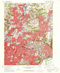
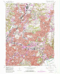
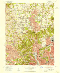
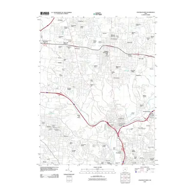
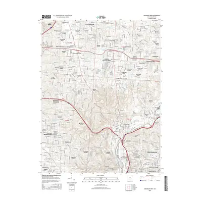
1961 Map of Cincinnati East
USGS Topo · Published 1971About this map
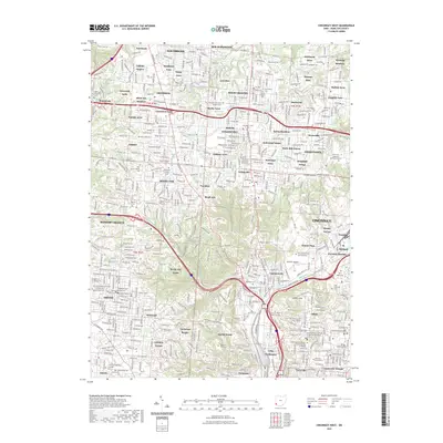
Cincinnati and its surrounding suburban centers appear in a moment of rapid postwar expansion on this detailed survey. The map documents the dense urban grid of Norwood, Saint Bernard, and Lockland, contrasting with the burgeoning developments in Amberley and Blue Ash. Significant institutional landmarks, including the University of Cincinnati Observatory and the Ursuline Academy, are situated amidst a landscape of established estates and new subdivisions like Rolling Knolls Estates.
Find a feature on this map
122 named features on this map. Tap any name to fly to it.
Don’t see what you’re looking for? This feature index may not catch every label — zoom into the map to look around manually.
Map Details
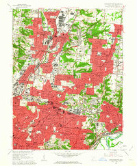
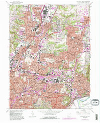
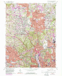
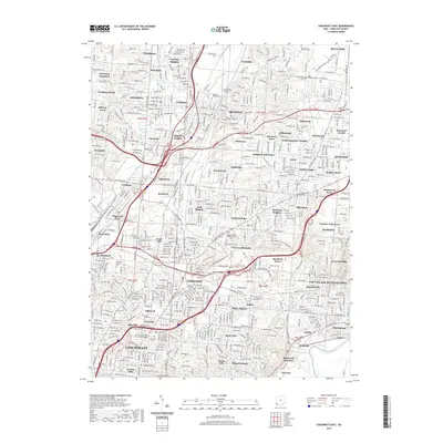
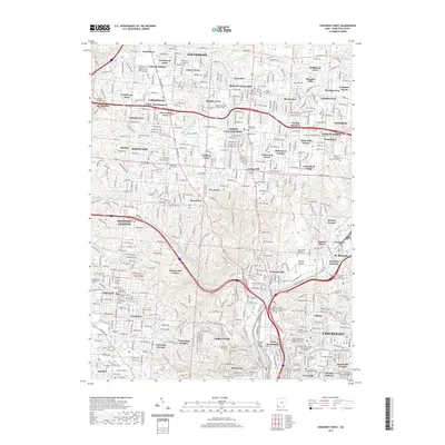
Editions of this 1961 Cincinnati East Map
6 editions found
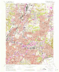
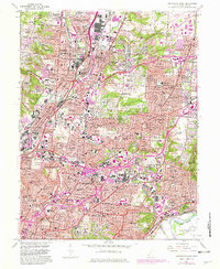
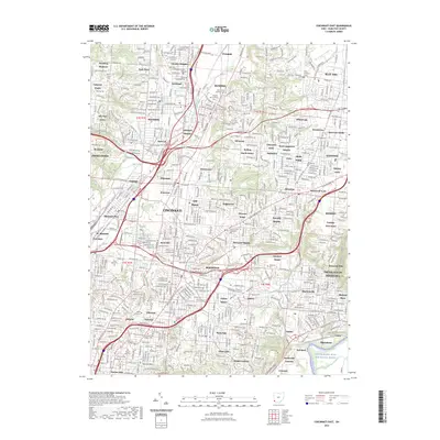
Historical Maps of Cincinnati Through Time
17 maps found

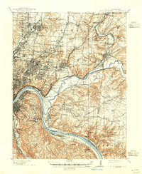
1898 East Cincinnati
Hamilton County, OH
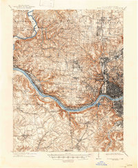
1914 East Cincinnati
Hamilton County, OH
1914 West Cincinnati
Hamilton County, OH
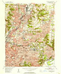
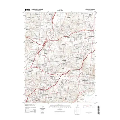
1953 Cincinnati East
Hamilton County, OH
1953 Cincinnati West
Hamilton County, OH
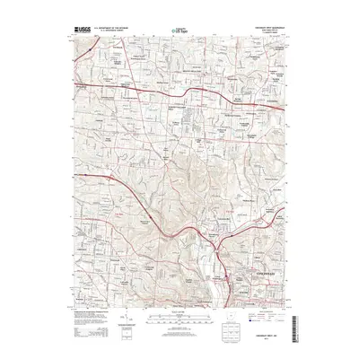
1961 Cincinnati East
Hamilton County, OH
1961 Cincinnati West
Hamilton County, OH
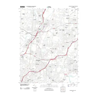
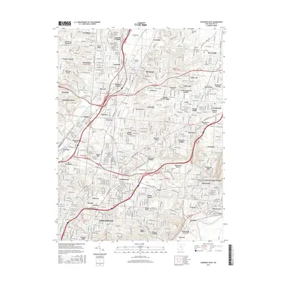
2010 Cincinnati East
Hamilton County, OH
2010 Cincinnati West
Hamilton County, OH
2013 Cincinnati East
Hamilton County, OH
2013 Cincinnati West
Hamilton County, OH
2016 Cincinnati East
Hamilton County, OH
2016 Cincinnati West
Hamilton County, OH
2019 Cincinnati East
Hamilton County, OH
2019 Cincinnati West
Hamilton County, OH
2023 Cincinnati East
Hamilton County, OH
2023 Cincinnati West
Hamilton County, OH