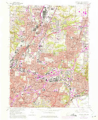
1961 Map of Cincinnati East
USGS Topo · Published 1975About this map
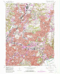
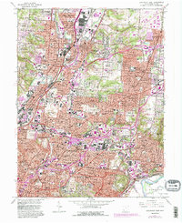
Industrial corridors and residential expansion define this mid-century portrait of Cincinnati and its northern suburbs. The Mill Creek valley serves as a primary transit spine, where the Baltimore and Ohio RR and Penn Central tracks facilitate the heavy manufacturing and rail-oriented commerce of Ivorydale and Saint Bernard. Notable institutional presence is found at the extensive grounds of the Longview State Hospital and the nearby County Home, while the University of Cincinnati Observatory stands on the heights above the city. Residential development follows the historical arteries of Reading Road and Montgomery Road, connecting older established centers like Lockland and Wyoming with newer post-war suburban tracts. In the eastern reaches, the landscape softens near the Little Miami River, marked by recreational spaces like the Cincinnati Country Club and the emerging neighborhoods of Kenwood and Madisonville.
Find a feature on this map
107 named features on this map. Tap any name to fly to it.
Don’t see what you’re looking for? This feature index may not catch every label — zoom into the map to look around manually.
Map Details
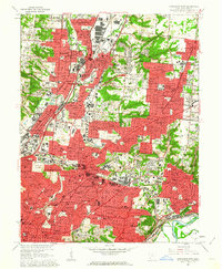
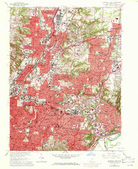
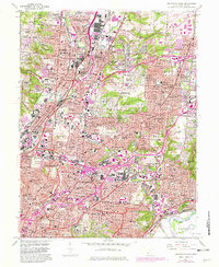
Editions of this 1961 Cincinnati East Map
6 editions found
Other maps of this area

1898 · East Cincinnati
USGS Topo · 1:62,500

1904 · Mason
USGS Topo · 1:62,500

1906 · Mason
USGS Topo · 1:62,500

1914 · East Cincinnati
USGS Topo · 1:62,500

1914 · West Cincinnati
USGS Topo · 1:62,500

1915 · Hamilton
USGS Topo · 1:62,500

1917 · Hamilton
USGS Topo · 1:62,500

1950 · Covington
USGS Topo · 1:24,000

1952 · Newport
USGS Topo · 1:24,000

1953 · Withamsville
USGS Topo · 1:24,000