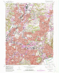
1961 Map of Cincinnati East
USGS Topo · Published 1988About this map
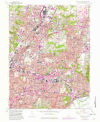
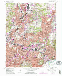
Norwood and Cincinnati define the dense urban and suburban landscape of this mid-century survey, which documents the extensive rail infrastructure that once drove the region's industry. The tracks of the Baltimore and Ohio, Penn Central, and Norfolk and Western railroads crisscross the terrain, connecting industrial nodes in Lockland and Reading. This era shows the transition of transportation, as the Cross County Highway and other major arteries began to reshaped the movement of people between established communities like Blue Ash and Wyoming.
Find a feature on this map
118 named features on this map. Tap any name to fly to it.
Don’t see what you’re looking for? This feature index may not catch every label — zoom into the map to look around manually.
Map Details
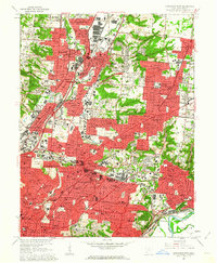
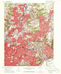
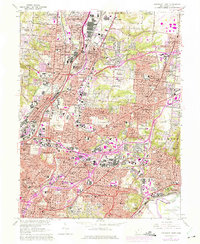
Editions of this 1961 Cincinnati East Map
6 editions found
Other maps of this area

1898 · East Cincinnati
USGS Topo · 1:62,500

1904 · Mason
USGS Topo · 1:62,500

1906 · Mason
USGS Topo · 1:62,500

1914 · East Cincinnati
USGS Topo · 1:62,500

1914 · West Cincinnati
USGS Topo · 1:62,500

1915 · Hamilton
USGS Topo · 1:62,500

1917 · Hamilton
USGS Topo · 1:62,500

1950 · Covington
USGS Topo · 1:24,000

1952 · Newport
USGS Topo · 1:24,000

1953 · Withamsville
USGS Topo · 1:24,000