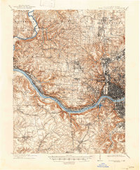
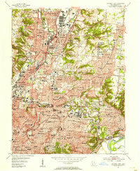
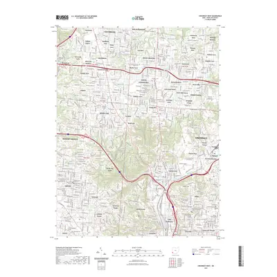
1914 Map of West Cincinnati
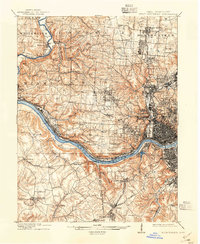
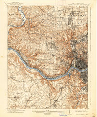
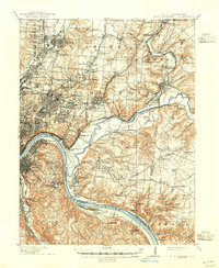
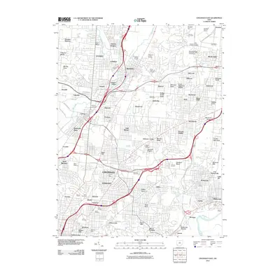
USGS Topo · Published 1947About this map
The Ohio River dominates this early twentieth-century survey, serving as the critical boundary line between Hamilton Co and the northern Kentucky counties of Boone and Kenton. Along its banks, the river economy is in full view, featuring Anderson Ferry, Dam 37, and the bustling riverfront settlements of Sedamsville and Sayler Park. The rugged topography of the Delhi, Green, and Colerain townships is carved by tributaries like Muddy Creek and Rapid Run, with dense urban development concentrated in neighborhoods like Cumminsville, Clifton, and Westwood.
Find a feature on this map
88 named features on this map. Tap any name to fly to it.
Don’t see what you’re looking for? This feature index may not catch every label — zoom into the map to look around manually.
Map Details
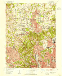
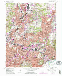
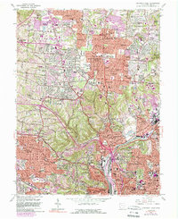
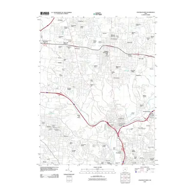
Editions of this 1914 West Cincinnati Map
4 editions found

Historical Maps of Cincinnati Through Time
17 maps found

1898 East Cincinnati
Hamilton County, OH
1914 East Cincinnati
Hamilton County, OH
1914 West Cincinnati
Hamilton County, OH
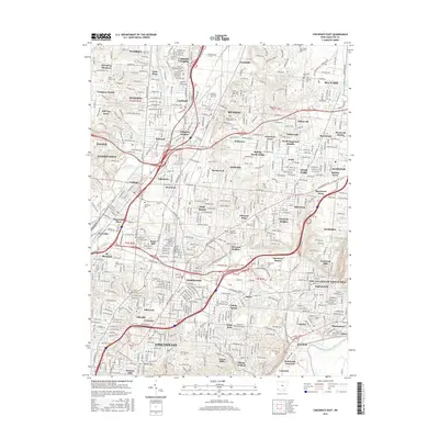
1953 Cincinnati East
Hamilton County, OH
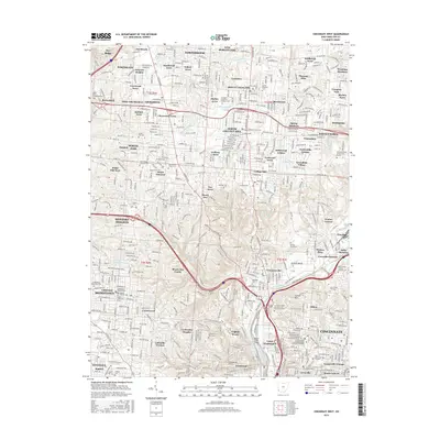
1953 Cincinnati West
Hamilton County, OH
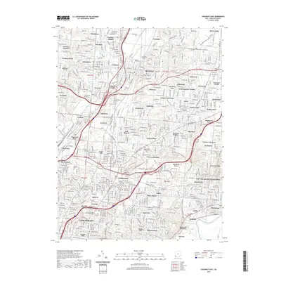
1961 Cincinnati East
Hamilton County, OH
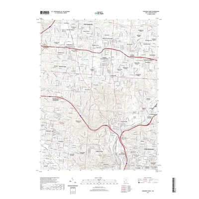
1961 Cincinnati West
Hamilton County, OH
2010 Cincinnati East
Hamilton County, OH
2010 Cincinnati West
Hamilton County, OH
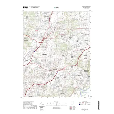
2013 Cincinnati East
Hamilton County, OH
2013 Cincinnati West
Hamilton County, OH
2016 Cincinnati East
Hamilton County, OH
2016 Cincinnati West
Hamilton County, OH
2019 Cincinnati East
Hamilton County, OH
2019 Cincinnati West
Hamilton County, OH
2023 Cincinnati East
Hamilton County, OH
2023 Cincinnati West
Hamilton County, OH