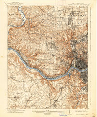
1914 Map of West Cincinnati
USGS Topo · Published 1938About this map
The Ohio River and Miami River define this industrial and residential landscape during a period of significant expansion. The dense urban grid of Cincinnati contrasts with the suburban and rural townships of Green and Colerain. Transportation infrastructure is highly developed, featuring a network of railroads such as the Cincinnati Hamilton and Dayton RR and the Ohio Electric Ry. Significant social institutions are prominent on the landscape, including the Good Shepherd Convent and the Ohio Military Institute. Along the riverbanks, smaller settlements like Addyston and Fernbank follow the rail lines, while Anderson Ferry provides a vital connection between Hamilton County and Kentucky. The inclusion of numerous numbered schools and the Boys Protectory reflects the social infrastructure of early twentieth-century Ohio.
Find a feature on this map
99 named features on this map. Tap any name to fly to it.
Don’t see what you’re looking for? This feature index may not catch every label — zoom into the map to look around manually.
Map Details
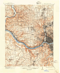
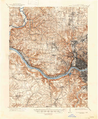
Editions of this 1914 West Cincinnati Map
4 editions found
Other maps of this area

1898 · East Cincinnati
USGS Topo · 1:62,500

1904 · Mason
USGS Topo · 1:62,500

1906 · Mason
USGS Topo · 1:62,500

1914 · East Cincinnati
USGS Topo · 1:62,500

1914 · West Cincinnati
USGS Topo · 1:62,500

1915 · Lawrenceburg
USGS Topo · 1:48,000

1915 · Harrison
USGS Topo · 1:48,000

1915 · Hamilton
USGS Topo · 1:62,500

1917 · Hamilton
USGS Topo · 1:62,500

1928 · Lawrenceburg
USGS Topo · 1:62,500